Google Maps is a digital tool that I do not feel like I could live without, in fact I even believe that it has been the key to my survival in some of the travels I have ventured out on. Do not get me wrong, I love an old physical map where I have to determine the scale of the map to the world that I am seeing in front of me, reading street names and locating my own position, while also being able to follow it as I move through a city or the woods. But what I love about Google Maps or other online navigation tools in general, is that every part of the world can be found through a tool you can bring with you anywhere in your pocket.
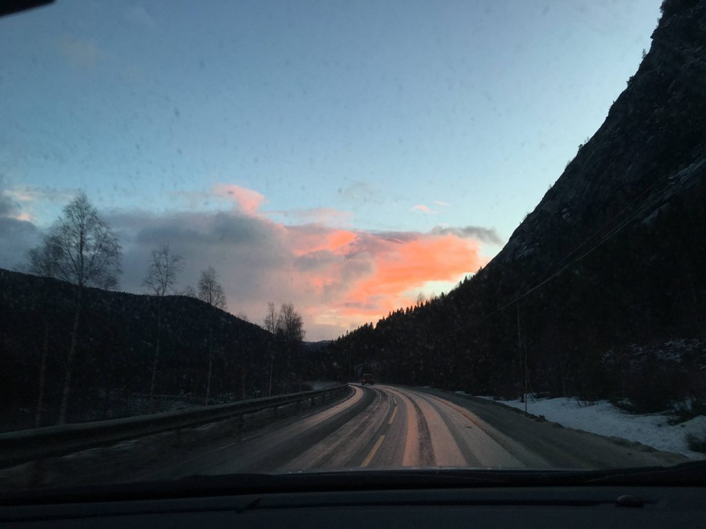
I still remember when I drove across the Norwegian countryside with my dad, and as we crossed the borders of different regions, I had to find a different map that covered the new area we were driving into. This was challenging and it meant that I needed to relocate us in the new map to be able to see how we could get to our destination. With Google Maps, all I need to do is enter the destination and it will calculate the fastest or best route to get there, while even taking into consideration potential delays due to traffic. When laying out the route using a physical map, if I really wanted to avoid traffic problems, I would listen to the radio to find out on which roads there had been a recent collision or other delay, and we would then have to estimate if driving around it would be worth it in terms of time.
Through doing orienteering as a sport when I was younger, I learnt how to use a map and a compass to navigate around the forest to find the posts that were planted along a specified route. Even I, a person who loves to read a map and can use it to orient myself in almost any terrain, am very happy to have Google Maps in my pocket, as it stores my favorite places, so if I ever go back to a city I have previously visited, I can easily find my way back to the stores and restaurants I enjoyed the last time I was there. While I miss the times when I could pull out a map and find my way through mountains or a city, Google Maps is definitely a more reliable option, and if you would like to know more about the many features of the tool, you can read about it in this article from the Business Insider. Perhaps there is something you did not know about before that you now can use to exploit the full potential of Google Maps.
It was also a highly convenient tool as I was backpacking through Southern Africa, especially in Namibia where we were hitchhiking our way through the desert, and it was difficult to imagine where the few roads connected amid the otherwise empty landscape. There were however a few issues that we ran into more than we would have liked, the first; internet. As the application is an online tool, it requires an active network connection to be able to connect your position on the map and also to display the detailed map of the area that you are in. When we ran out of mobile data, we went to buy more, however then we would have the issue that there was no signal, so we could still not connect to the map. We then resorted to asking people that we met along the way, and luckily, we eventually made our way across the country, although we would have preferred the safety of Google Maps to make sure we were going in the right direction.
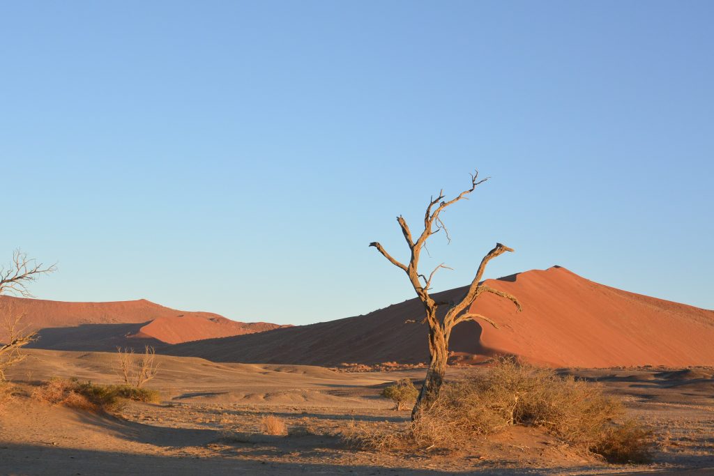
/Photo Taken by Eva Johanne Rotevatn, Namibia 2018.
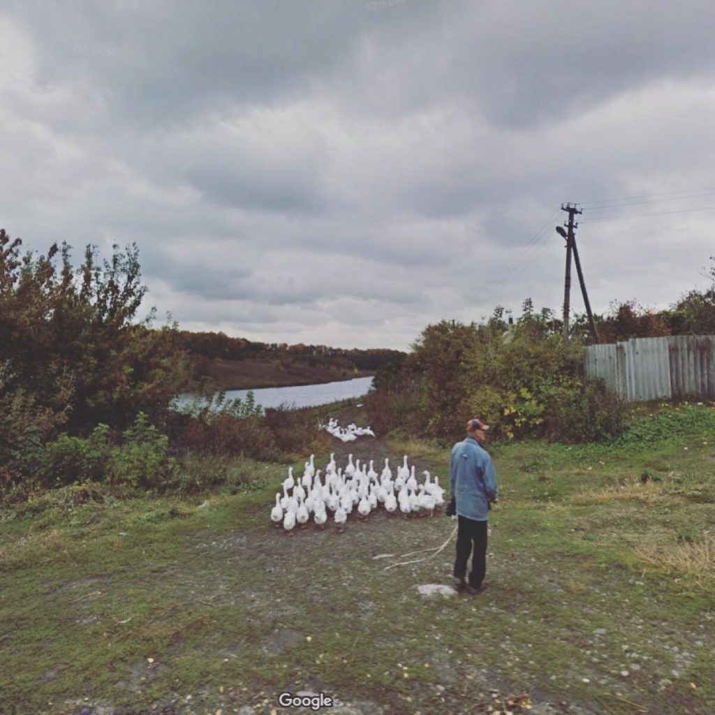
I have mostly used Google Maps when I am out and about travelling, or to look up the best route for travelling, however there are people who started to use the street view feature to be able to “travel” the world, without leaving their couch. In 2017 I came across an article about a woman, Jacqui Kenny, who uses Google Street View to browse around and “see” the world, and she would also take screenshots of where she “visited” as her photography, as she lives with a phobia of crowded places and places where there are no people at all (agoraphobia). Now, while you might think that taking screenshots of someone’s back yard in google street view should not count for photography, seeing the shots she has taken really shows how much time and effort she has put into finding the perfect angle and color combination, you can see some of her work here. After reading her story, I was even more convinced that Google Maps is a versatile and necessary tool that gives the opportunity to explore the world, whether it is for planning your travels or for just getting a feeling of what other parts of the world are like without having to go anywhere physically.

the idea of traveling the world by using google street was already a thing when I was still living in Indonesia around 2015. However, traveling digitally cannot be compared with the real experiences that you get when you visit the place in real life. It is nice to see the panoramas but google street view only capture the images in a certain time. You wont be able to see those places during the night or when it is snowing, for example. However, using it as a pre-imagination before you travel somewhere is a good idea. Making you feel secure, in a way 🙂